Finding Iceland’s lost plane wreckage

by Chris on 27th March 2019
Chris is the CEO of The Adventure People and has over 20 years experience in the travel industry.

Guest blog by Ollie Beaney from https://blackcoffeetrails.com/
The windswept black sand beaches of Iceland’s south coast are eerie and magnificent in equal measure, but hidden away between the sea and the nearest road is the wreckage of a US Navy Douglas Super DC3 aircraft, which was forced to crash land on the beach in November 1973. Thankfully the crew survived, and since the US Navy returned to strip anything valuable from the aircraft the wreckage of the fuselage has been left exactly where it came down almost 50 years ago.
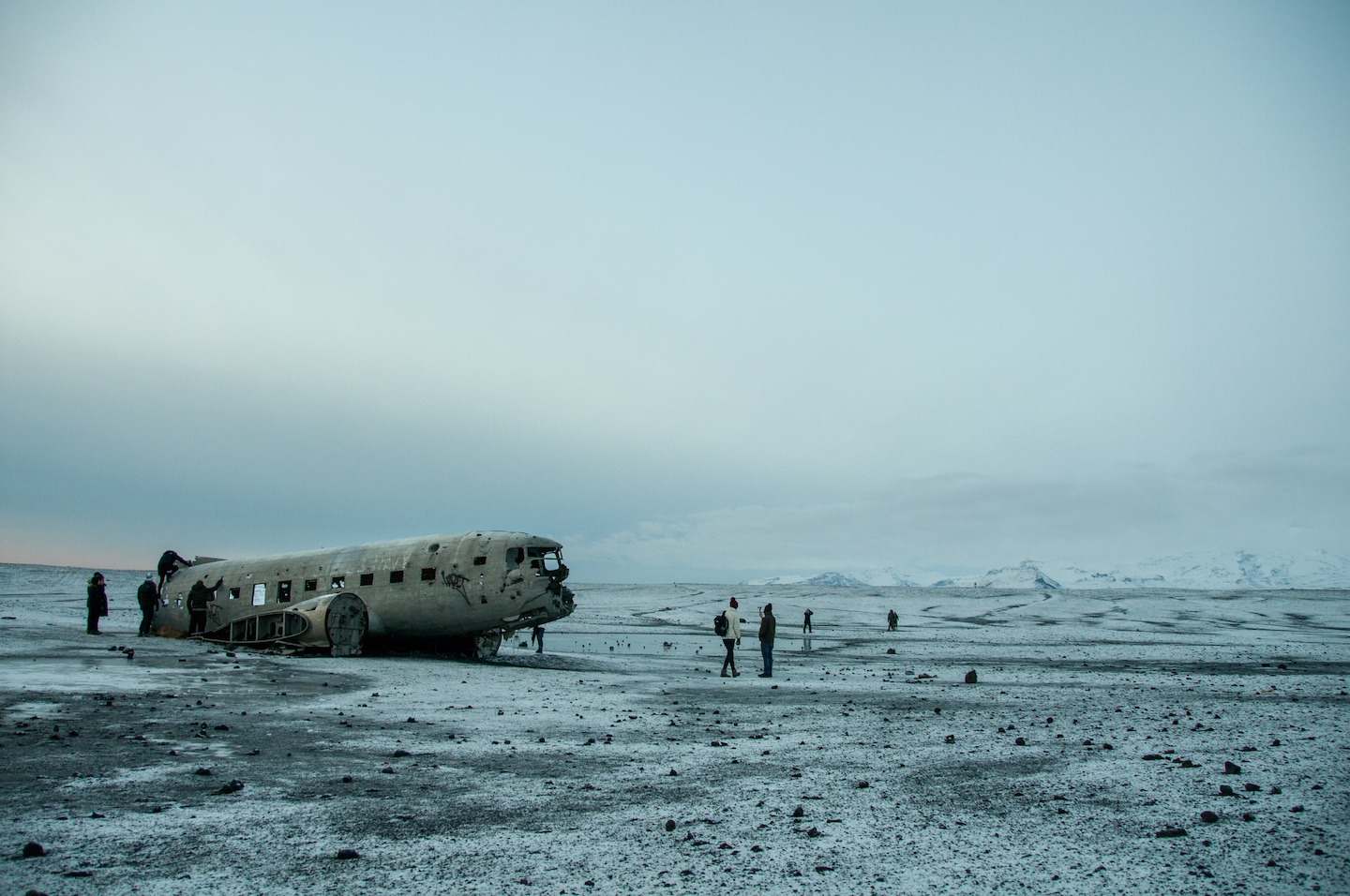
The haunting plane wreck at Solheimasandur is a popular spot with travellers and photographers alike.
Over 45 years of exposure to the harsh elements of Iceland’s south coast has left the wreckage battered and torn, with parts missing and holes in the metalwork, it’s like something out of a post-zombie apocalypse movie – And so well worth a visit if you’re planning a trip to Iceland!
There was a time when you could take a 4x4 and drive all the way up to the wreckage. However, the landowner started having problems with the actions of some people attempting to do so, and so now the only access is on foot. You can drive as far as a layby on the side of Route 1 (The Ring Road) where you park up and begin the walk out to the wreckage – Here's how to do it.
63°29’28.5”N 19°21’47.8”W
That’s the Lat / Long for the start of the walk. For anyone who isn’t a coordinate-crunching master navigator, here’s a more human-readable guide on how to find what you’re looking for.
Heading out of Reykjavik, pick up Route 1 (The Ring Road) towards the south coast, keep following this road eastbound along the south coast for about 2 hours. It’s a long drive but the scenery you’ll encounter on the way is absolutely stunning. The best thing to be looking out for is the signpost on your left for Skogafoss waterfall, as this is a well-marked destination. Once you’ve seen this you’re not far away, keep heading straight on Route 1 and you’ll cross a bridge – This is where you really need to start keeping your eyes peeled.
Along this road on the right-hand side, you'll see a lay-by, possibly with some other cars parked in it. There should be a gate with what looks like vehicle tracks behind, this gate is usually closed but if for some reason it’s open please remember it’s forbidden to drive down the track without explicit permission from the landowner. If you miss this layby you’ll soon reach a second bridge, this is the sign that you’ve gone too far and need to head back.
Once you’re parked up in the lay-by it’s a fairly simple walk. Go past the gate and keep following the vehicle tracks towards the beach. You’ll soon lose sight of the mountains and for a while it’ll seem like you’re walking through endless nothingness. When you do eventually spot the plane wreck in the distance it’ll seem like it isn’t getting any closer.
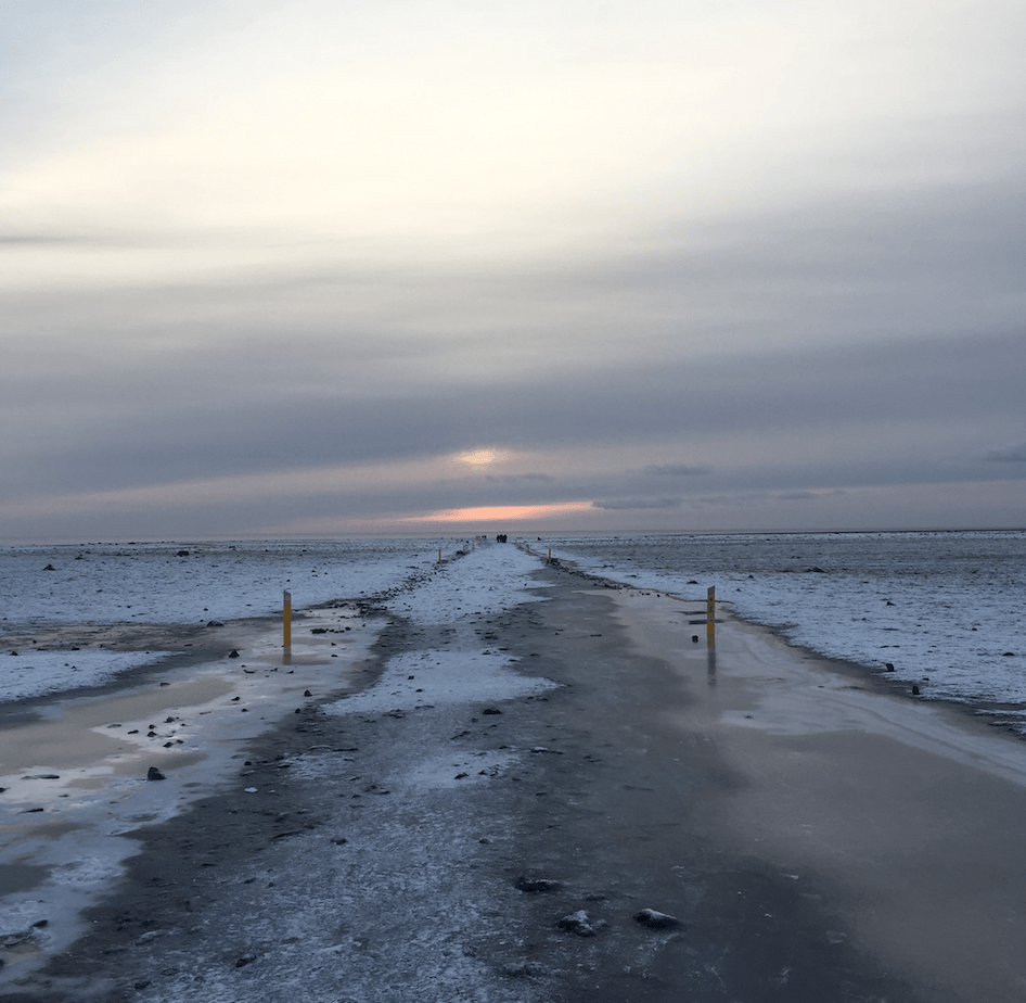
This will be your view for quite a while on this walk.
Keep following this track until you’ve got a clear sight of the plane wreck off to your left, at this point you can make a beeline straight for it. Just be careful of “dead ground” – The gentle undulation of the area can make things appear much closer than they actually are. The walk is about 4km each way and almost totally flat all the time you’re on the track, so most people can easily do this within an hour. Just make sure that you leave enough time to get back to your car before it gets dark, and come prepared for the sometimes brutal weather conditions that the south coast of Iceland can throw at you!
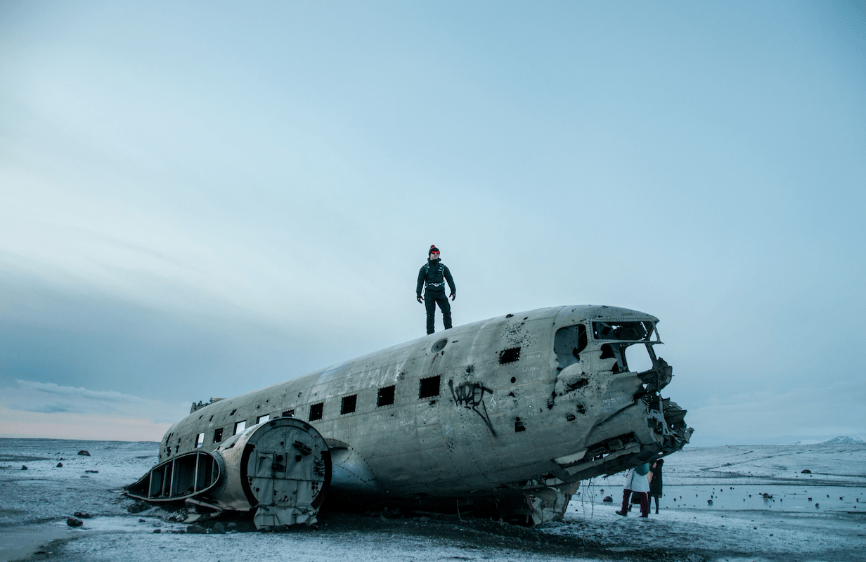
The brittle, corroded metal makes walking on top of the fuselage a risky game. You could easily fall through and you’re a long way from help – Do this at your own risk!